
Satellite Images Reveal Surge in Iranian Nuclear Site Construction Amidst War
Translated & summarized from Ynet by baba
CNN reported a significant increase in construction at Iran's "Mount Cursed" nuclear site in 2026, based on satellite imagery. The surge occurred during wartime and near the Natanz facility, where Iran is also building a hardened underground site.
The story in 4 lines · by baba
- Satellite images show a construction surge at Iran's "Mount Cursed" nuclear site in 2026.
- The construction occurred during wartime, according to CNN's report.
- The site is located near the Natanz nuclear facility.
- Iran is also building a hardened underground facility at Natanz.
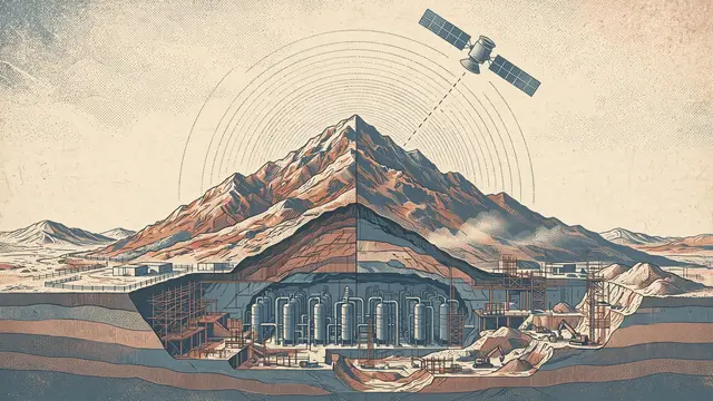
CNN reported a significant increase in construction activity at Iran's "Mount Cursed" nuclear site during 2026. The report, based on satellite imagery from the Center for Strategic and International Studies (CSIS) obtained by the network, indicates the surge occurred concurrently with ongoing conflicts. A team of experts analyzed six years of satellite photos to reach their conclusions.
"Mount Cursed" is a nuclear facility located in the Zagros Mountains, near the Natanz nuclear complex. This site has remained undamaged during the past two wars involving Iran. For the past six years, Iran has also been excavating an underground facility beneath Natanz, which experts believe could withstand even the most powerful bunker-buster bombs.
The construction boom at "Mount Cursed" is particularly noteworthy given its proximity to the Natanz facility, where Iran has been developing a deeply buried, hardened underground site. The timing of the increased activity at "Mount Cursed" during wartime raises questions about Iran's nuclear program intentions.
Mentioned
The same event, reported separately by each outlet. Open a few to compare what different newsrooms emphasize — and what they leave out.
Left 2Centre 4Right 2Haredi 1Arab 1Other 3