
Rain Returns to Israel After Heatwave, Flash Floods Feared in South
Translated & summarized from 0404 by baba
Israel will see a return of rain and cooler temperatures after a heatwave, with showers expected in southern and eastern areas starting Tuesday afternoon. Authorities are warning of a significant risk of flash floods in streams in the Dead Sea region, Judean Desert, and northern Arava. The weather shift is described as a localized, autumnal event, not a widespread winter system.
The story in 5 lines · by baba
- Rain is expected to return to Israel, particularly in the southern and eastern regions, after a period of warm weather.
- There is a significant concern for flash floods in streams located in the Dead Sea region, Judean Desert, and northern Arava.
- Isolated thunderstorms are also possible in some areas, contributing to the risk of rapid weather changes.
- Authorities are advising caution and recommending avoiding stream beds in flood-prone areas during rainfall.
- The upcoming weather is characterized as a localized, autumnal event, distinct from the recent warmer conditions.
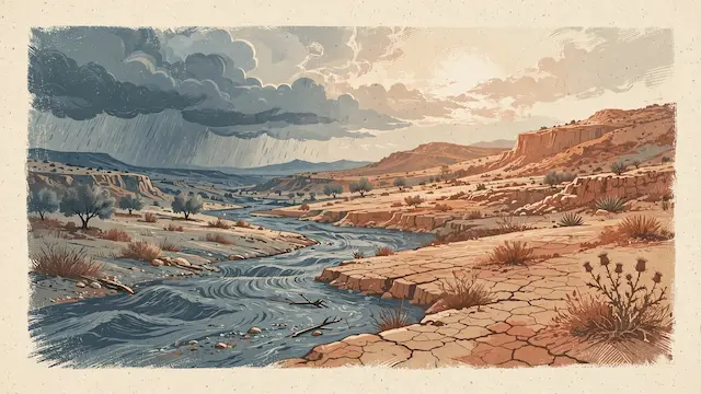
Following several days of unseasonably warm weather, Israel is set to experience a shift as rain is forecast to return, particularly to the southern and eastern regions. The forecast indicates partly cloudy to cloudy skies with temperatures returning to seasonal averages across most of the country, offering a more comfortable feel. Significant changes are expected from the afternoon onwards, with local showers beginning in the eastern and southern areas. Some locations may experience isolated thunderstorms, prompting warnings for rapid weather changes.
The primary concern is the risk of flash floods in streams, especially in the Dead Sea region, the Judean Desert, and the northern Arava. Even if rainfall is not continuous or heavy across the entire area, short bursts of intense rain could cause sudden water flows in these streams, posing a danger to hikers and drivers. Authorities advise against entering stream beds in flood-prone areas during rainfall or when warnings are in effect. The desert terrain can change rapidly, and even rain falling far away can lead to strong currents downstream.
This return to autumnal conditions marks a departure from the recent warmer weather. The combination of clouds, local rain, and the possibility of thunderstorms will create a distinctly different atmosphere compared to the past few days. However, the event is described as a localized and focused occurrence rather than a widespread winter system. The main risk remains concentrated in the south and east, while other parts of the country are expected to have relatively pleasant weather with variable cloud cover throughout the day.